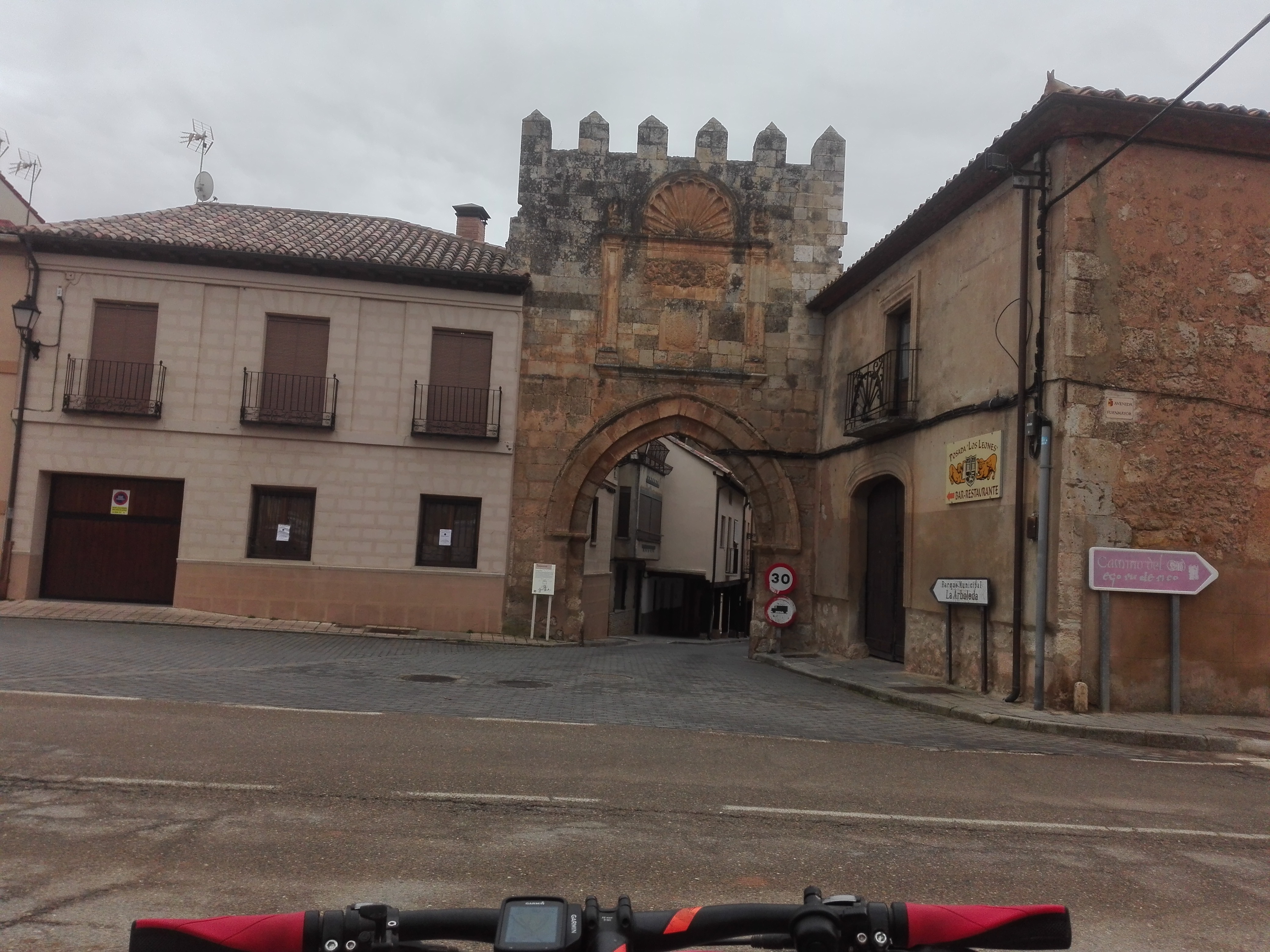
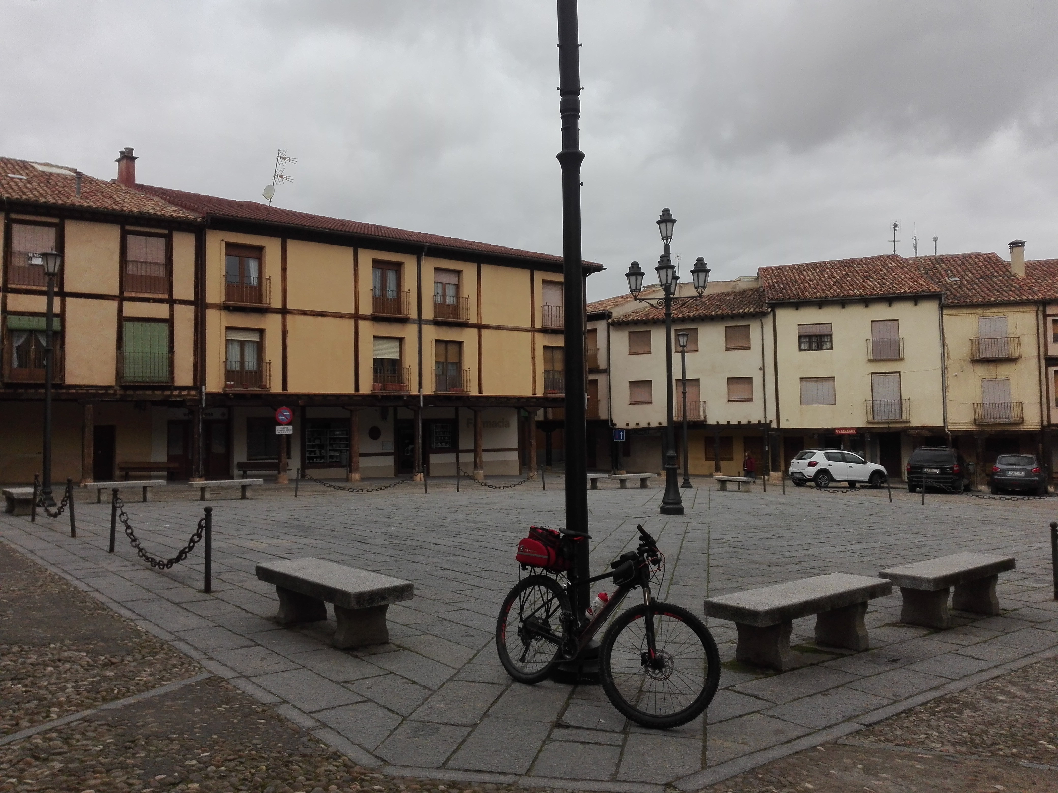
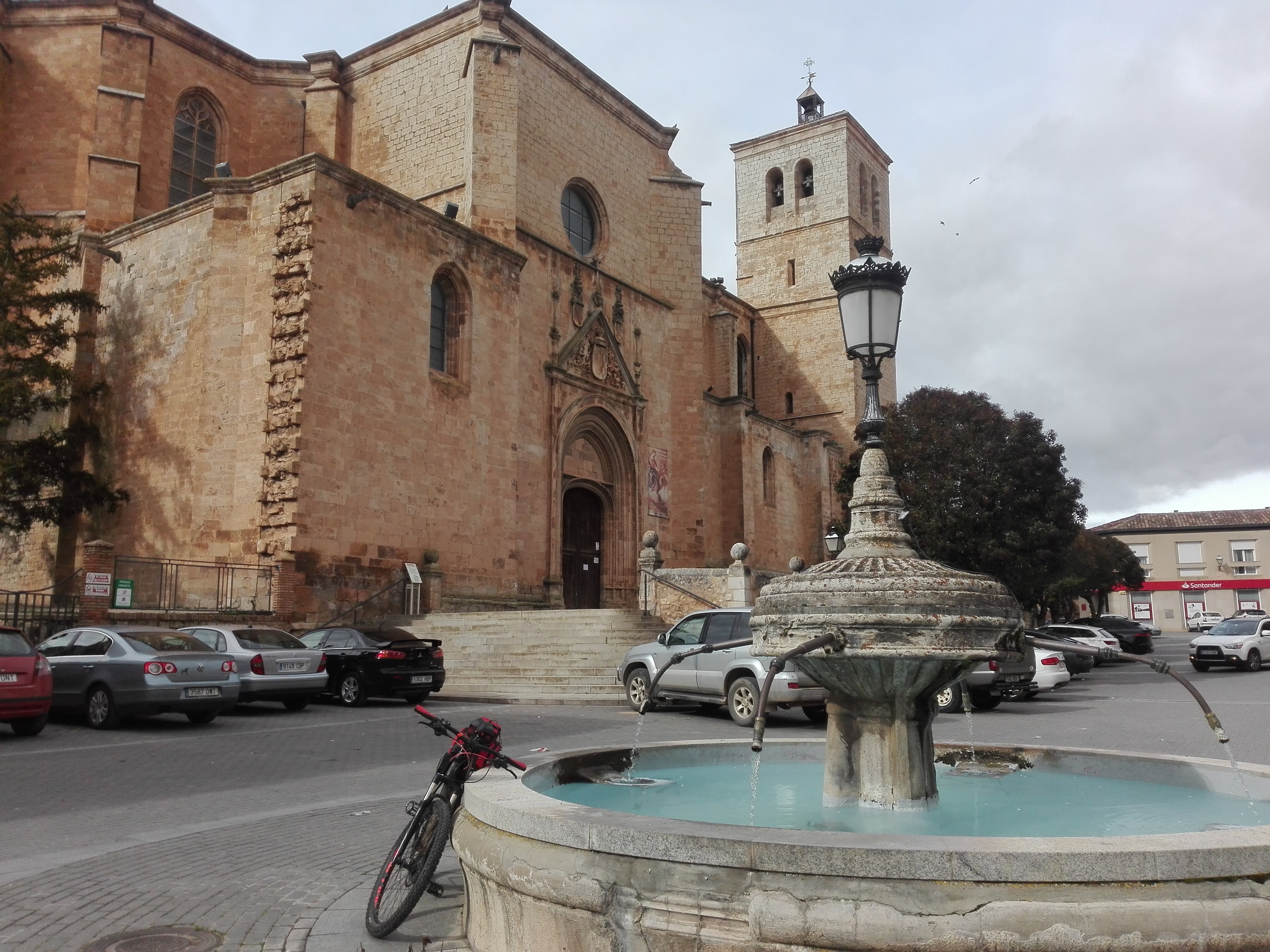
Berlanga de Duero


Second route with departure and return in Berlanga de Duero. This time, about 40 kilometers long.
We Will start our journey from its typical Main Square, with its iron balconies and its arcades supported by wooden columns, and all the time near the River Duero
We ride first to the northwest, and once passed the door of Aguilera, we cross the road.
We continue straight ahead by 250 meters and we take the track on our right and that will head us to Aguilera, our first stop, a really beautiful town of just fifteen inhabitants.
The first two kilometers are mostly uphill and then we can enjoy a grateful descent.
Aguilera

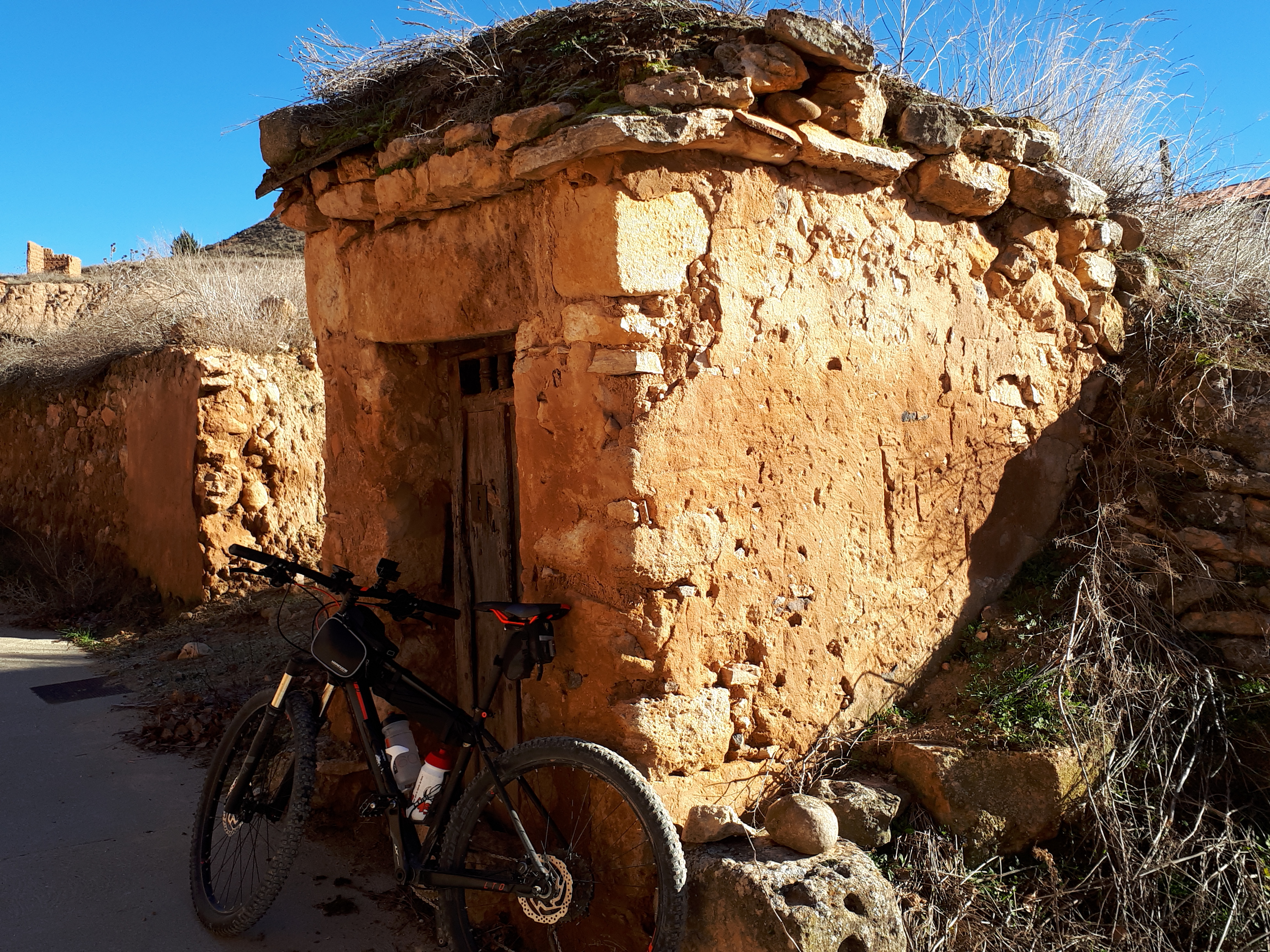


Already in Aguilera, in the low part of the town,next to the road, we get to the public laundry, with its adobe walls, its wooden and tile roof, and open only from the front.
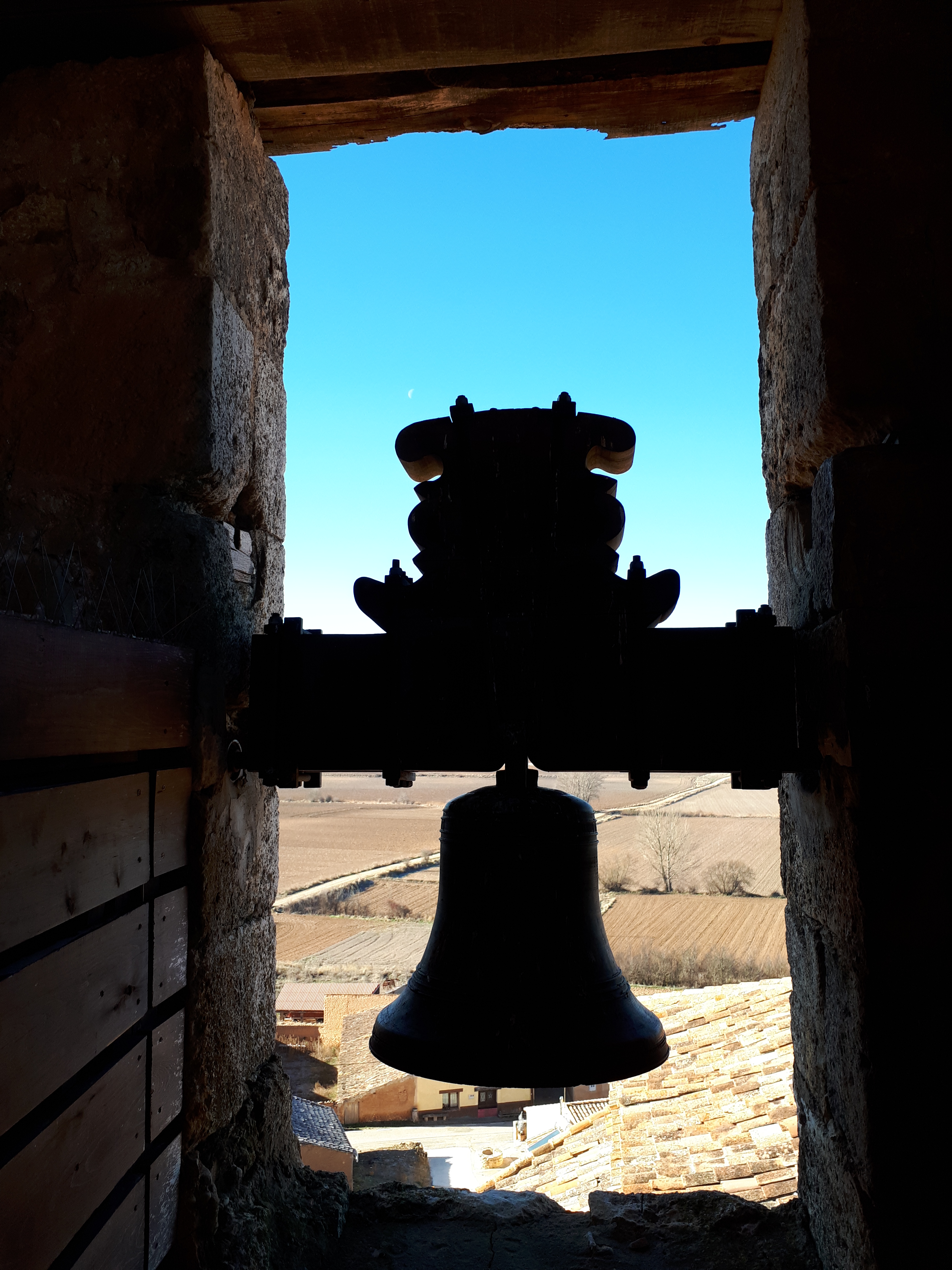
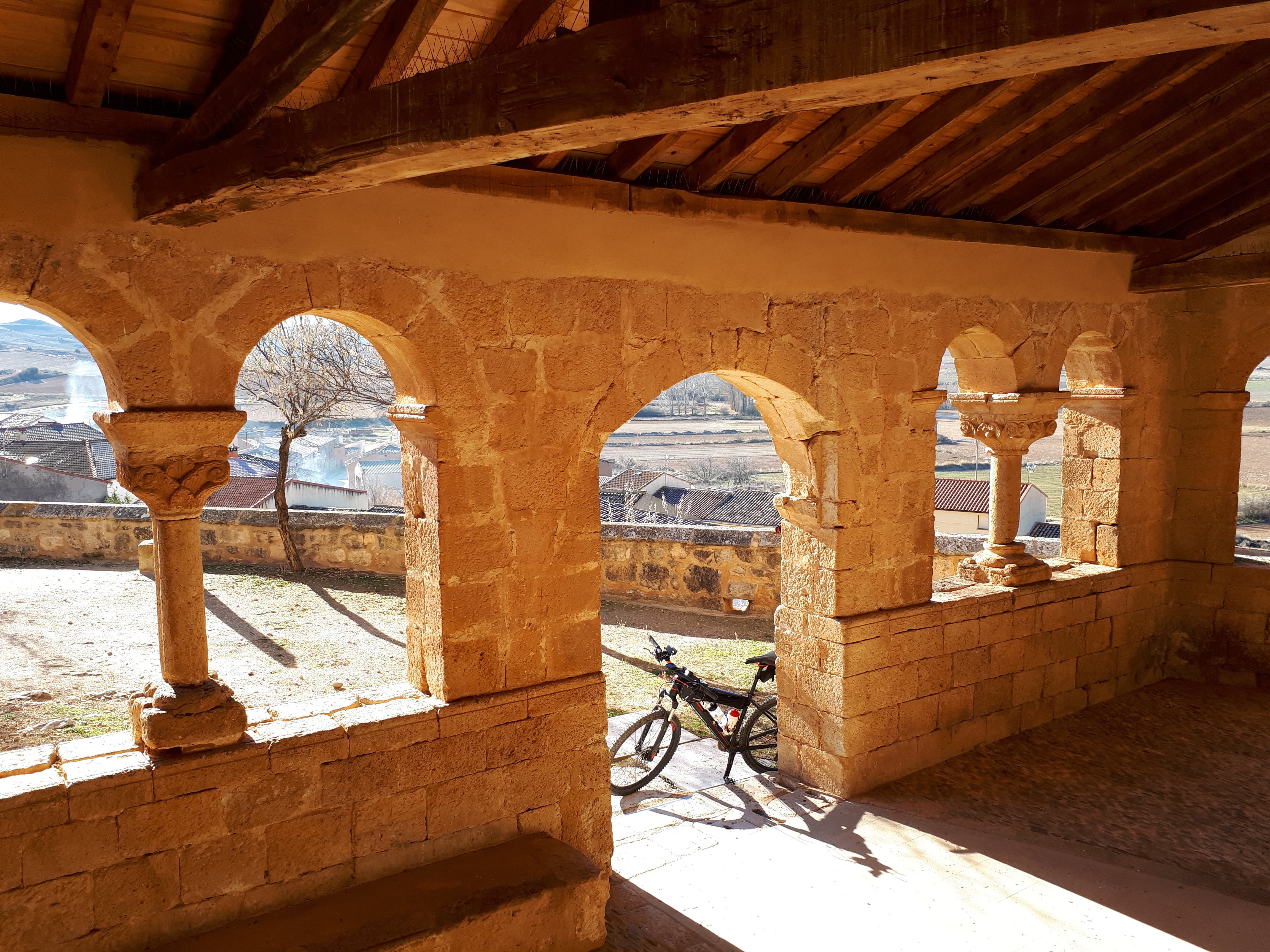
Cycling uphill, towards the top of the town, we find some traditional cellars on our right … and finally we arrive to the church of San Martín, which was restored few years ago and that is on of the best examples of hte Romanesque in the province of Soria.
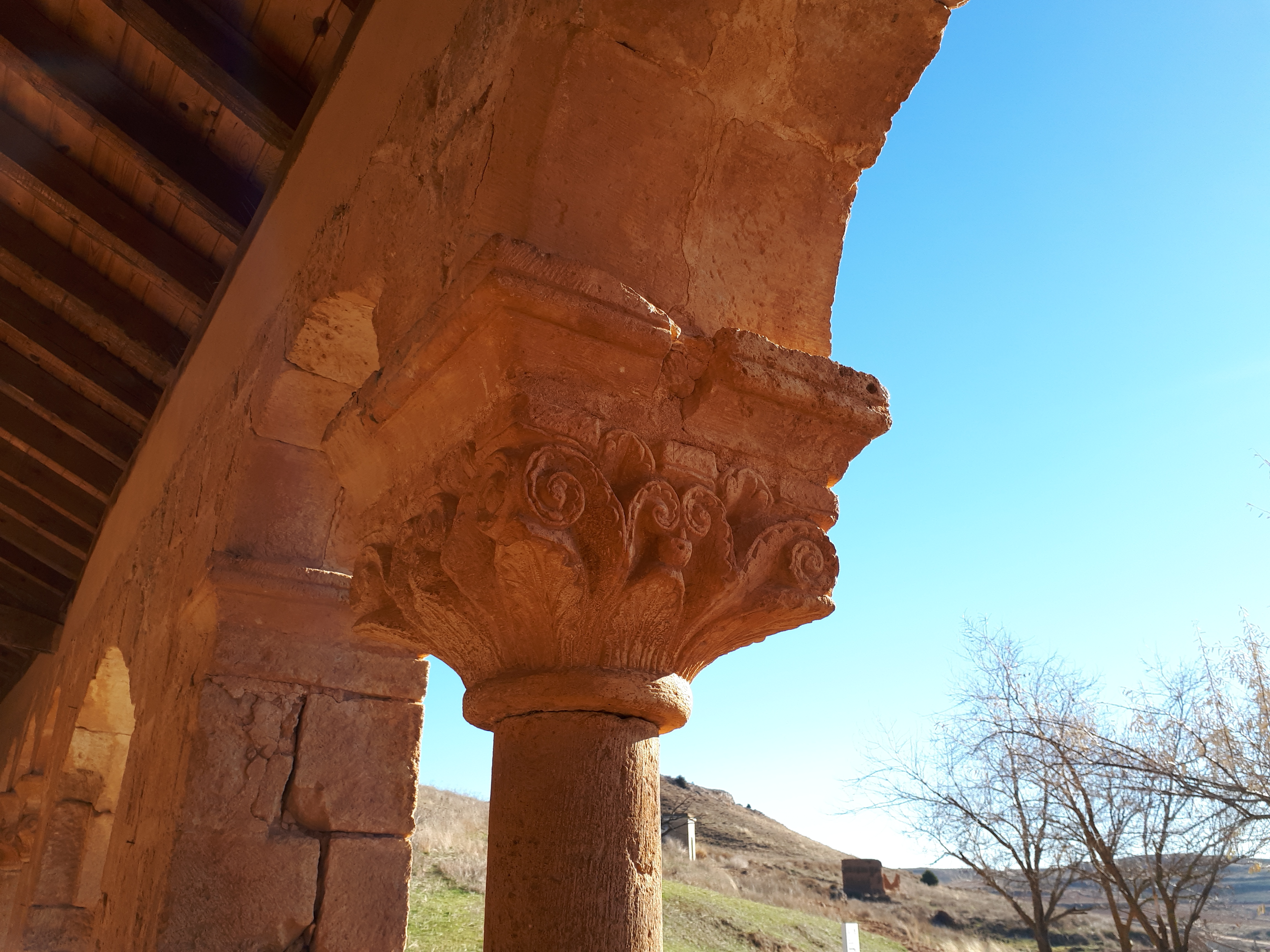
It was built in the middle of the 12th century, with a single nave, presbytery and semicircular apse. On the South façade, the doorway and the porticoed gallery are the jewels of the Church.
Sculpted in one of the stones that join one of the openings of the arches, we find a very curious figure.
It is an Alquerque board, which was a very popular game in the Middle Ages, similar to the tick-tack-toe and already mentioned by the king Alfonso X El Sabio in his book «The Games Book».
We continue our way, leaving the town to the west, by the road that connects Aguilera with Morales.
We cross the Talegones River, and about 300 m later, we will turn right looking for the south bank of the River Duero.
Sabina La Pica

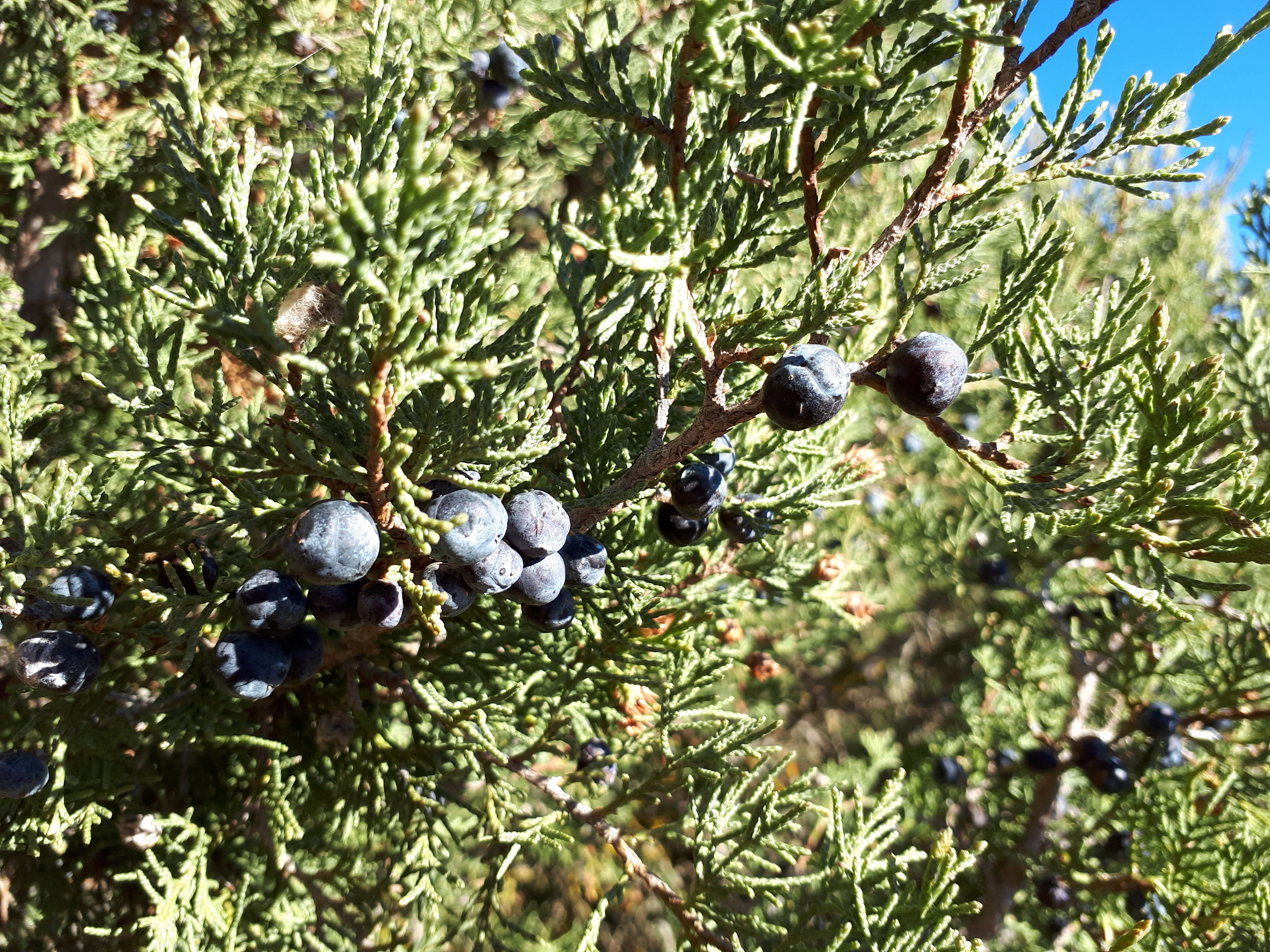

Riding in parallel to the River Duero, we find on our left this juniper called La Pica, a wonder of nature.
This specimen is spectacular for its measures (19 m height, 12.5 m crown width and 4.5 m trunk circumference), and for its age (about 400 years). It also stands out for its column-shaped bearing, rare in this type of tree.
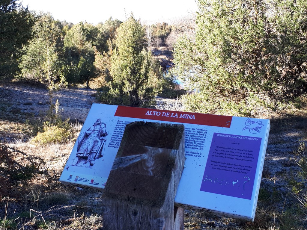
We reach the Alto de la Mina by 500 metres after, and we enjoy a nice view to the right towards a small meander that forms the River Duero in this area.
Morales

A new village, Morales, appears in front of us. We cross the town on the outskirts to the west, passing by a typical circular decovete. By 100 meters to our left, we leave the town’s wine cellar area.
We continue to the west, now heading towards Recuerda. We still have six kilometers left, one half going uphill and the second half downhill. passing first through an area of fields and then through a mountainous area dominated by oaks and junipers.
Recuerda
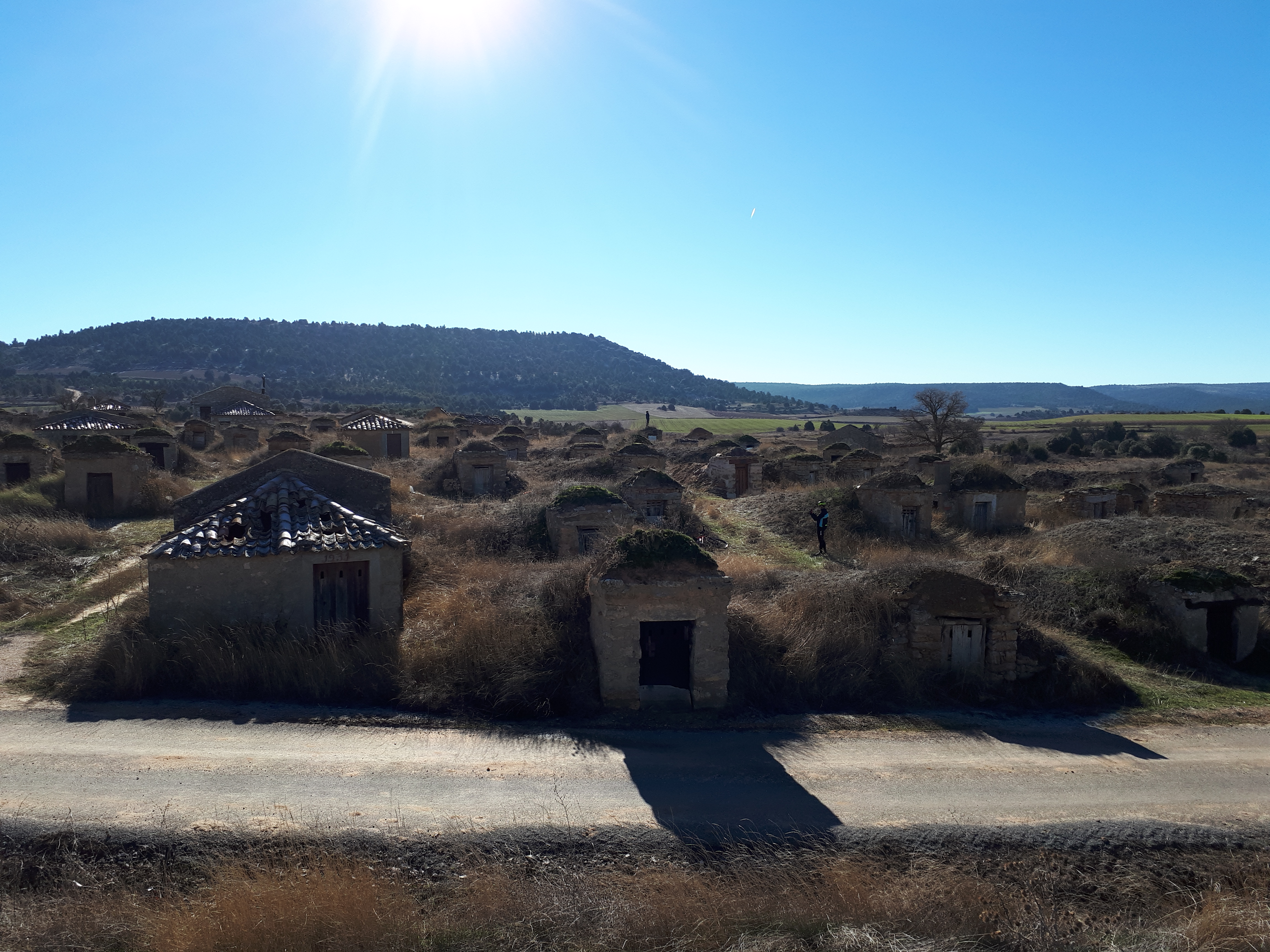


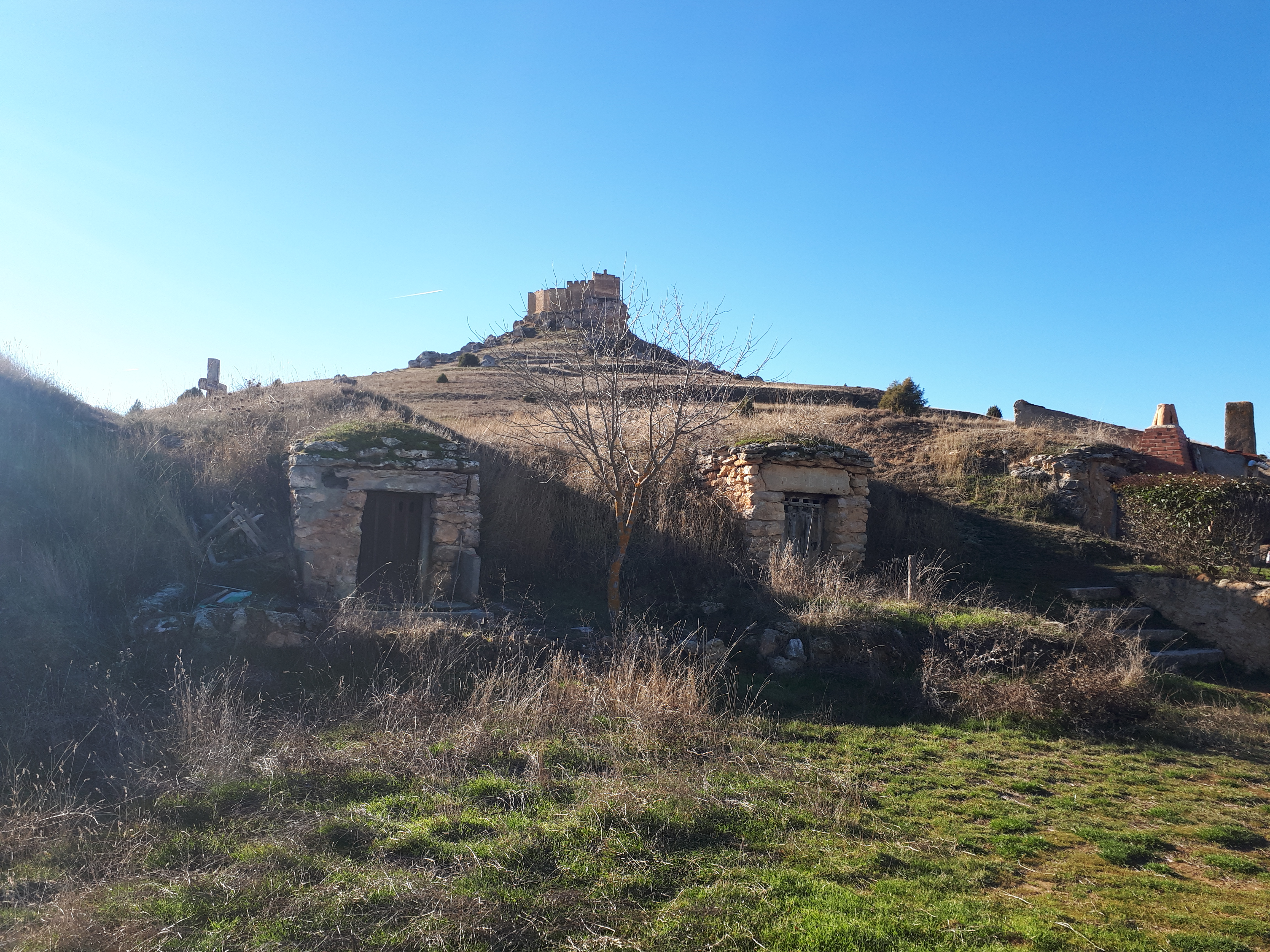
By one kilometer still to get to Recuerda, turning to the right, we arrive at La Ciudad de la Alegría (The happyness city). With this entirely appropiate name is how it´s known the town’s wine cellar area.
More than a hundred cellars and some winepresses are aligned up between small vineyards, forming a spectacular ethnographic set over two hectares.
It´s Saint Bernabé church, a mix between Gothic and Baroque styles, stands out from afar in this shallow area.
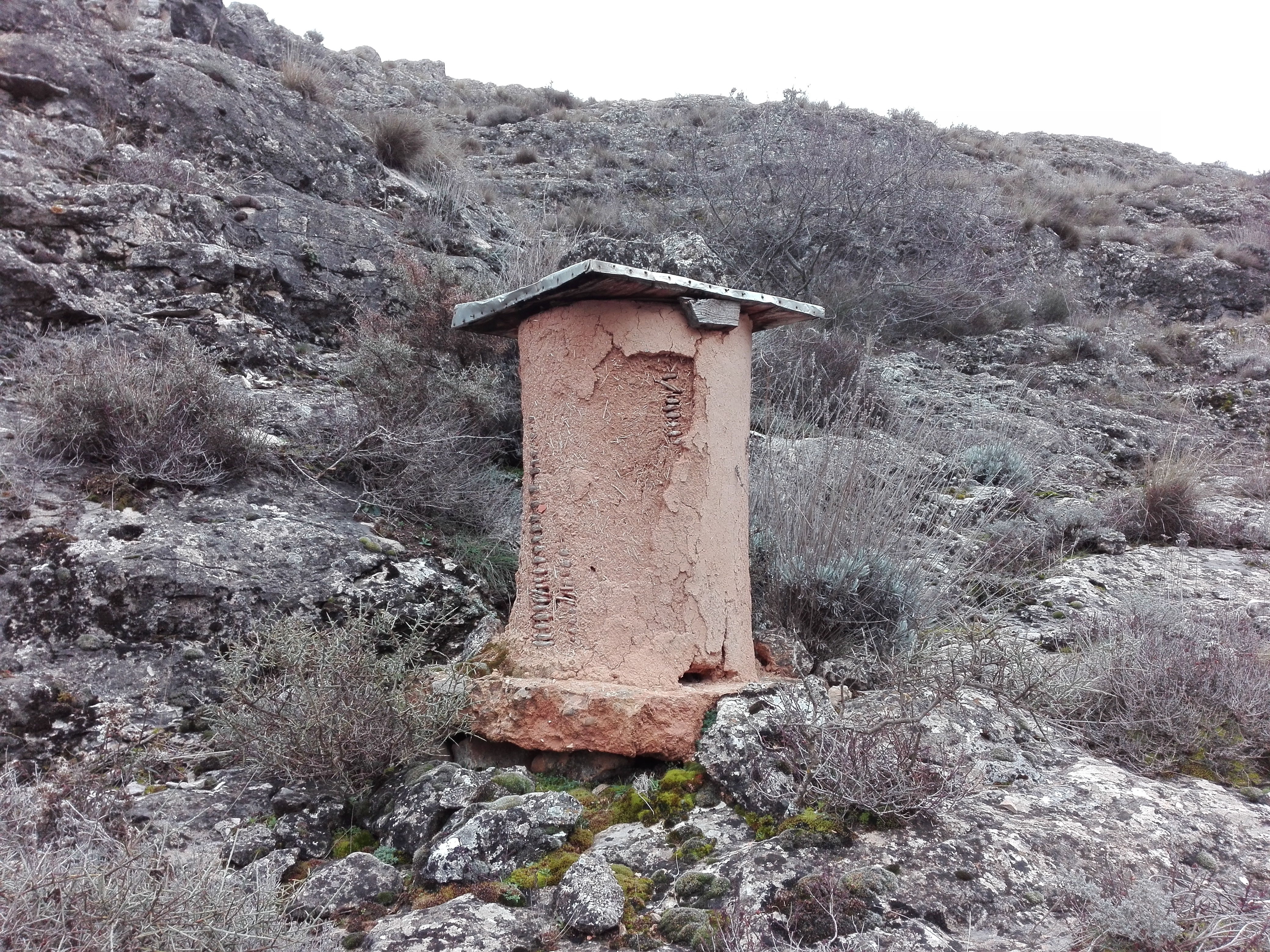
On the outskirts of the town, to the north, a dovecote also draws our attention due to its whitewashed and good condition.
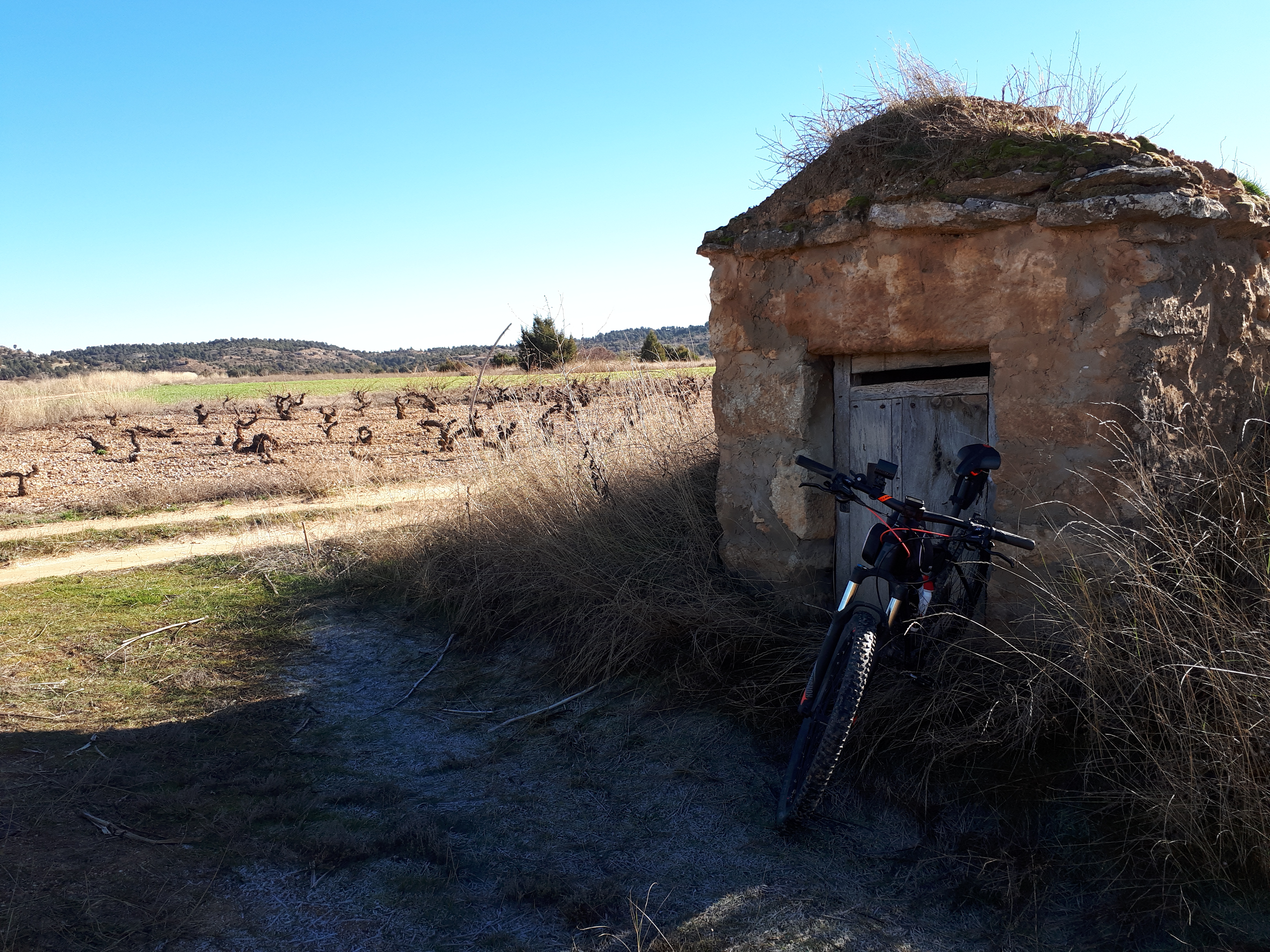
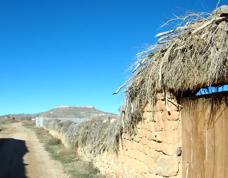
We also find some typical fences, that built in stone or adobe, are using a vegetal cover, in this case of small juniper branches, as protection against the rain. This type of enclosures are a very characteristic construction in this part of the province of Soria.
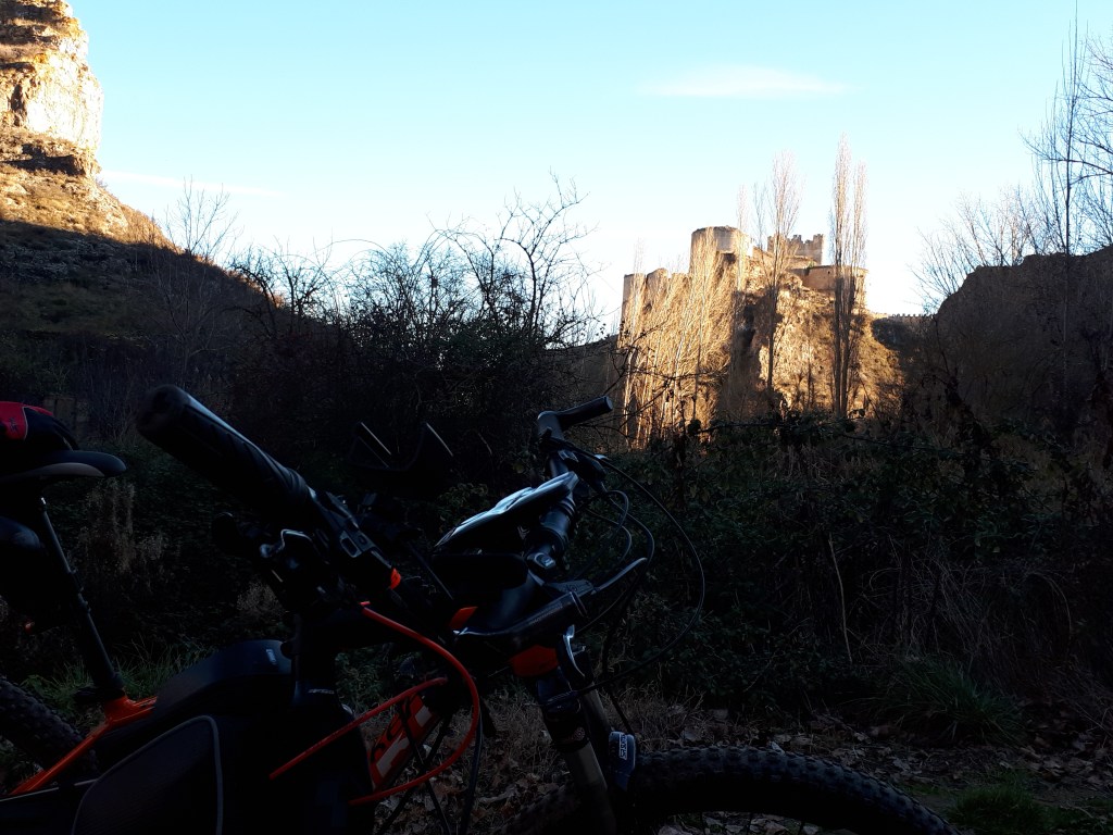
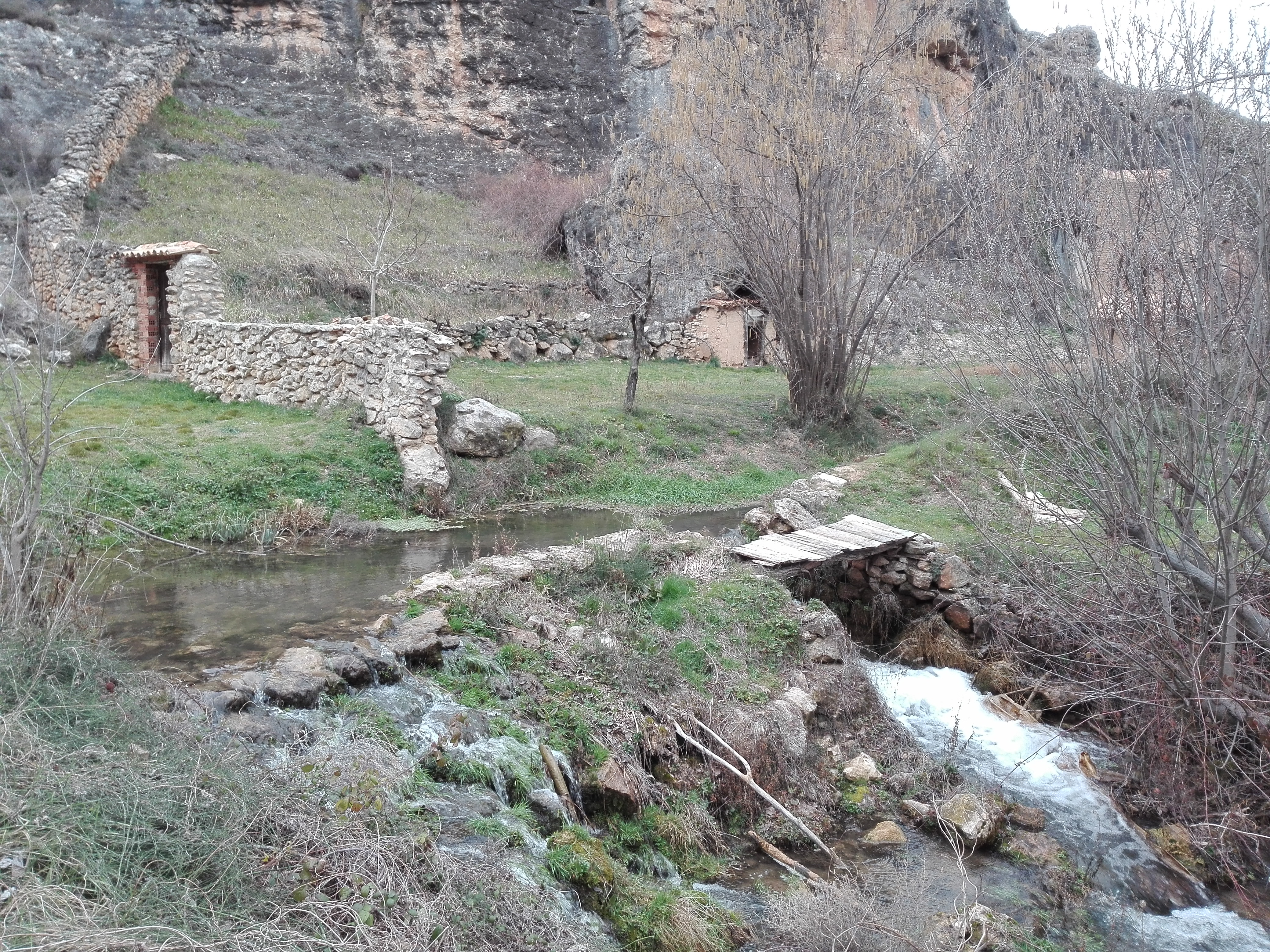
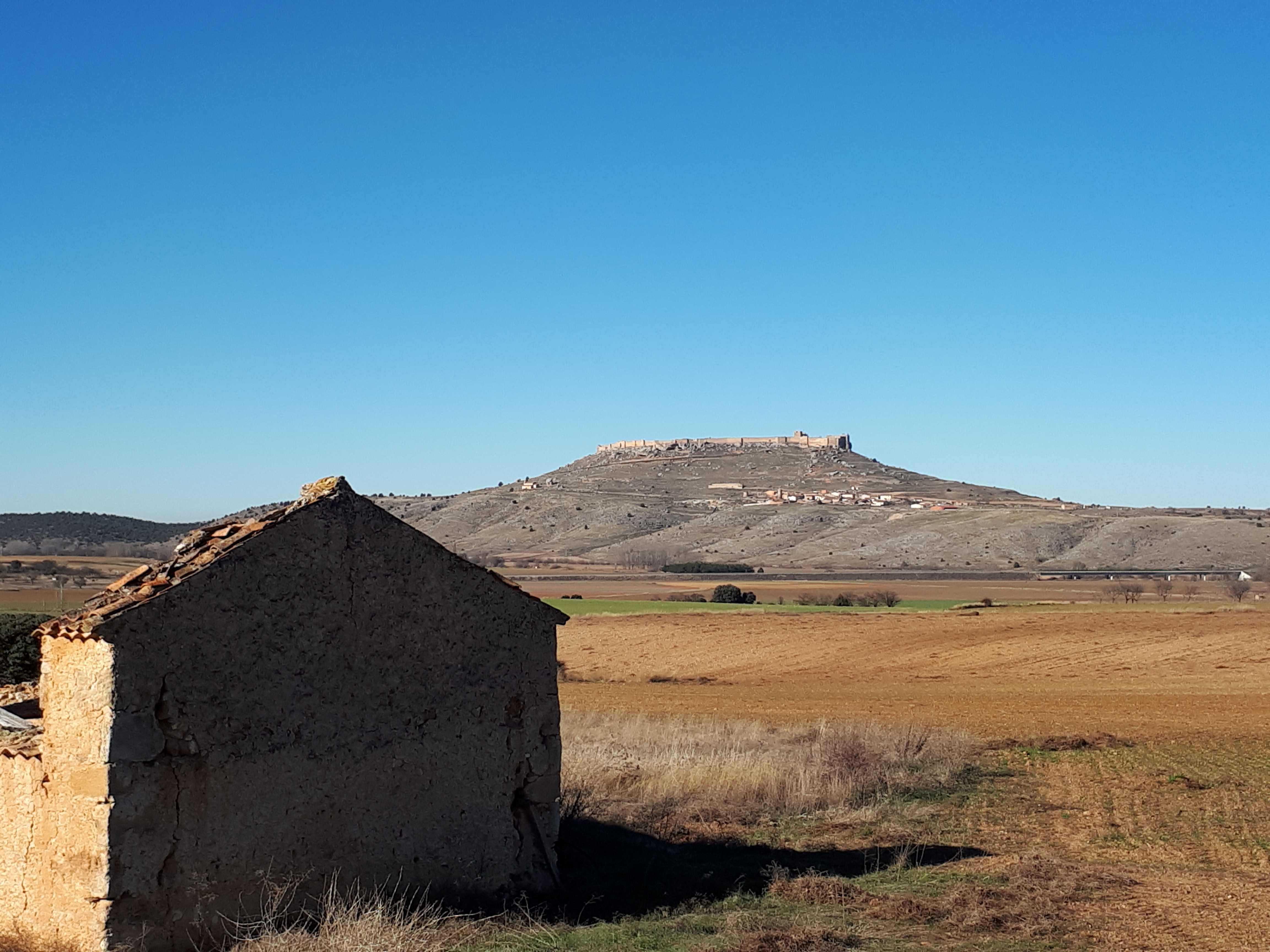
We leave Recuerda northwards, following the Way of El Cid, and we see the impressive Califal Fortress of Gormaz, just in front of us. That´s our next stop.
Gormaz


We cross the River Duero through a beautiful bridge of Arab origin, and we will ride straight ahead using as shortcut the GR path that goes to Gormaz just in the other side of the bridge.
You can also continue to the right, following the Way of El Cid to reach Gormaz from the east. This option is longer, but more affordable .
We continue uphill, now on the road, and immediately we find a dovecote on the right, and shortly after, also on the right, the Romanesque hermitage of San Miguel. It´s mural paintings made with the same technique as those of the nearby hermitage of San Baudelio, were discovered during the restoration works some years ago.
We finally arrive at the Califal Fortress of Gormaz. With a little more than 1,000 meters above sea level, is the highest point of this route.
It´s declared as a National Monument, and considered the longest in Europe.
Built by the Muslims around 960, this position next to the Duero, was one of the most strategic and most disputed by Muslims and Christians during the reconquest.
It passed from one hand to the other on numerous occasions, until Fernando I definitively got it for the Christians, and gave it to El Cid Campeador, who would be its warden.
From here we can enjoy amazing views in any direction.
We start the second part of the route going downhill towards Gormaz, either by the road (easier) or by the path that goes to the left before reaching the parking (more technical).
Already in Gormaz, we pass first next to the Church of San Juan Bautista, and then, in the Main Square, we see the roll of justice, built in the 18th century, when the Villa of Gormaz was the capital of the Community of Villa y Tierra of Gormaz.
In the town there are two bars and a fountain in case we want to have something to eat, a drink or fill the water tanks.
We leave Gormaz by the road to the north, passing the cellars area, which with the fortress behind, makes a beautiful postcard.
We carefully cross the road SO-160, which from El Burgo de Osma, connect to the province of Guadalajara, and by a dirt road, we reach Quintanas de Gormaz.
Quintanas de Gormaz


The most remarkable of the town are the schools, from the early twentieth century. Their facade is one of the biggest tourist attractions in the area.
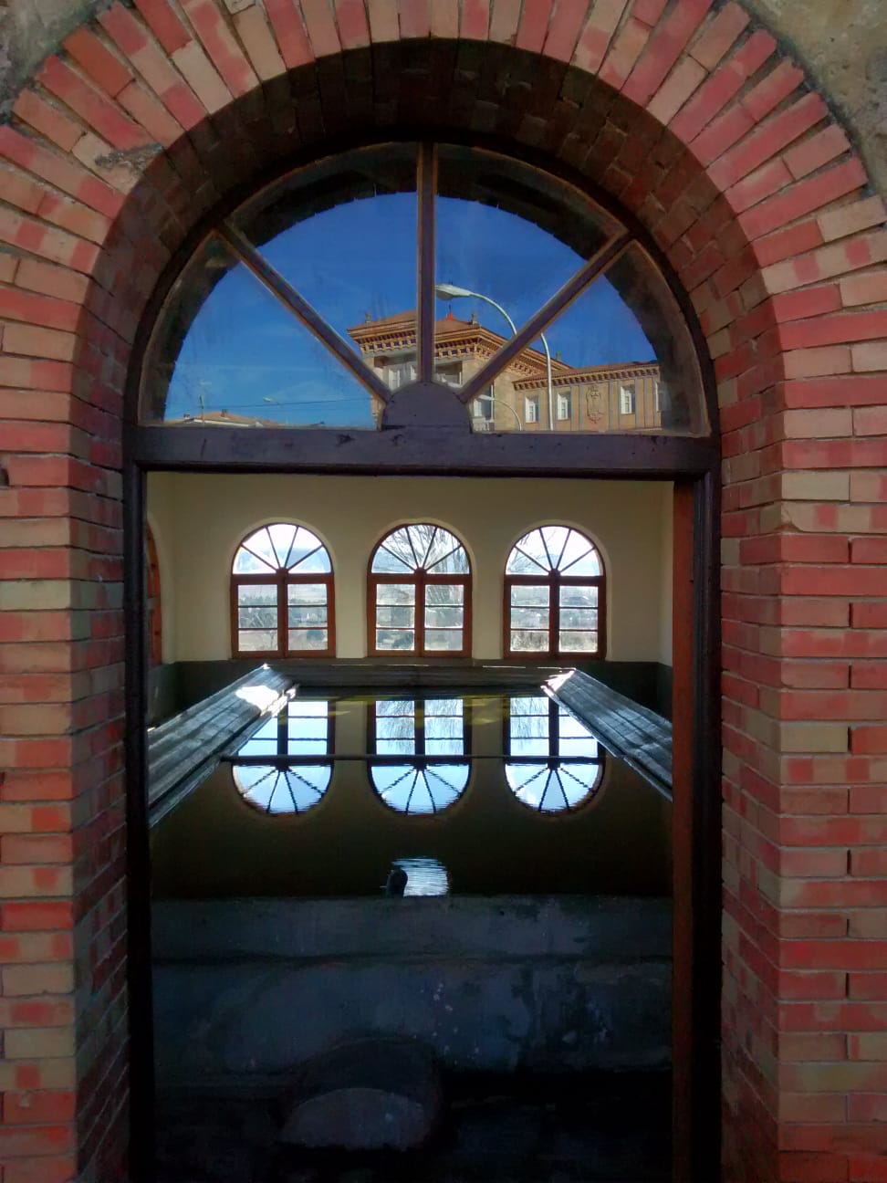
Directly opposite, is the public laundry. For me this has been one of the surprises in this route.
The inner shell of the building is entirely made of wood, and it is all surrounded by large windows, except for one of its sides. On sunny days, the views from inside are great.
We pass through the Main Square, with San Lorenzo´s church, in Baroque style, and the town hall in the background. We can also find a bar and a small grocery store.
Leaving the town to the east, looking for the GR86 trail, we can still see some cellars.
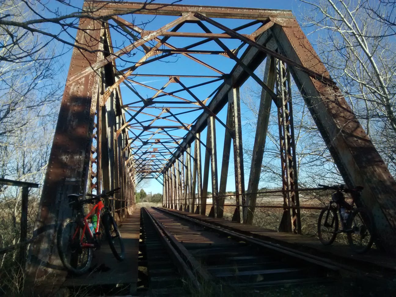
We arrive at the old Valladolid-Ariza railway line, abandoned since the 1980s between areas of resin pines and junipers. Here we have a section of approximately one kilometer, walking through the same rail line, until we reach the iron bridge over the River Duero, next to the neighborhood of The Berlanga de Duero Station.
The last 7 kilometers of the route are very flat, we pass between sections of road and paths to reach Berlanga through the canyon that forms the Escalote River behind the castle, and which is the perfect finish for this route.